From Roads to Terrain: Off-Road Navigation Without GPS
TERN expands continuous navigation beyond the traditional road network
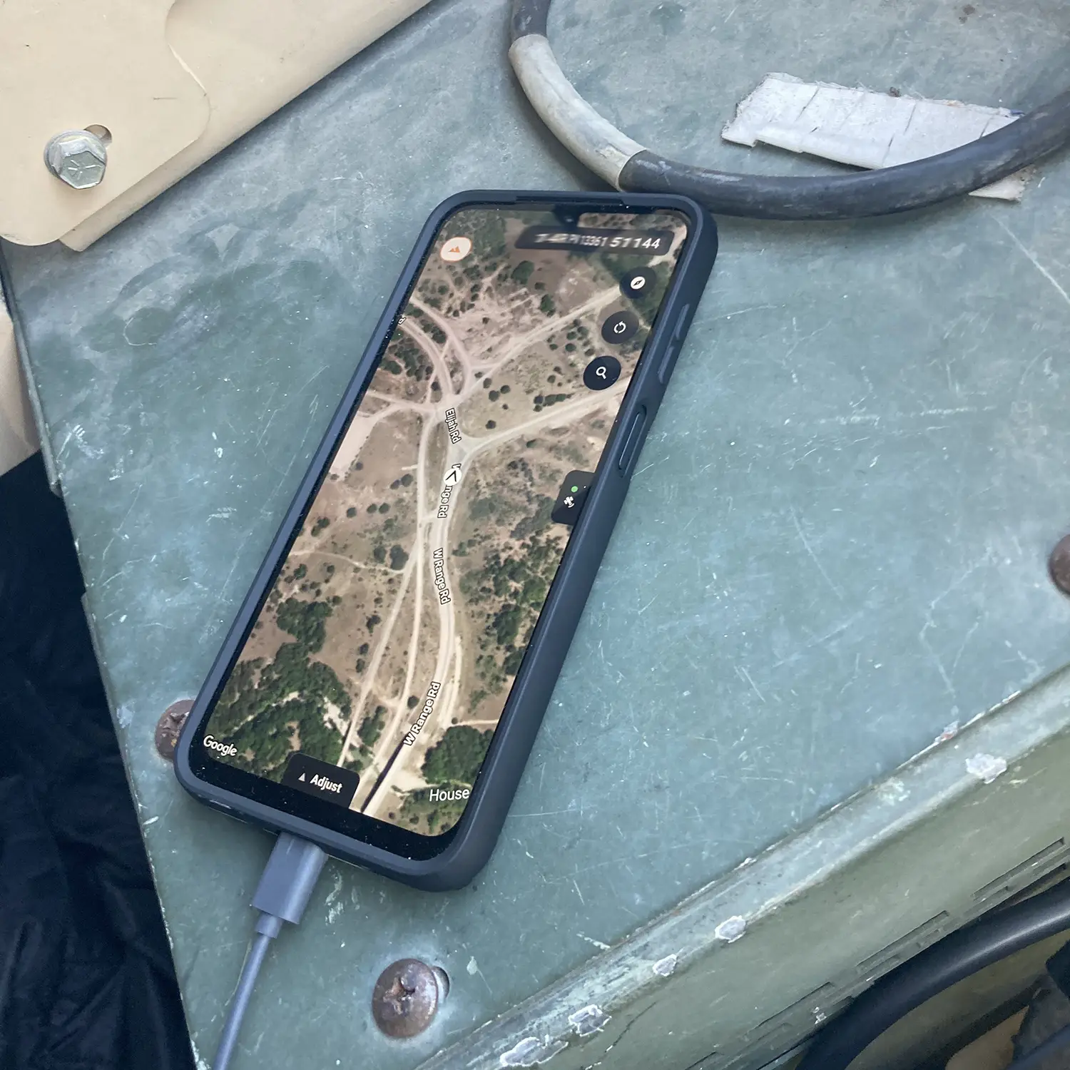
TERN’s IDPS™ enables continuous off-road navigation without GPS by allowing vehicles to maintain intelligent positioning across trails, forestry roads, industrial routes, and remote terrain using existing vehicle systems, maps, and software-defined positioning technology.
For decades, navigation stopped where reliable infrastructure ended.
Public roads, stable GPS coverage, and connected environments defined where continuous turn-by-turn navigation could realistically work. Beyond that, drivers were pushed into fragmented trail apps, cached maps, unreliable positioning, and disconnected systems.
TERN changes that architecture.
Today, TERN is announcing a major expansion of its Independently Derived Positioning System (IDPS™), extending continuous positioning and turn-by-turn navigation beyond paved roads into trails, forestry networks, industrial routes, remote terrain, and operational environments where traditional navigation systems struggle.
For the first time, vehicles can continuously maintain awareness of where they are across trails and off-road terrain using existing vehicle systems, maps, and intelligent positioning software.
What Is Off-Road Navigation Without GPS?
Traditional off-road navigation often depends on fragmented systems, cached maps, intermittent satellite coverage, or specialized trail navigation apps that can degrade in remote or obstructed environments.
TERN’s IDPS™ introduces a different model.
Instead of relying entirely on external signals, IDPS™ enables vehicles to continuously determine and refine understanding of place from within using software-defined positioning, vehicle motion, maps, and continuously learning environmental awareness.
The result is continuous off-road navigation that extends far beyond the traditional road network.
Why Traditional Navigation Struggles Beyond Public Roads
Traditional navigation systems are largely constrained to public road networks where GPS and connectivity remain reliable.
As environments become more remote, obstructed, or operationally complex, navigation continuity often degrades.
This affects:
- Trail navigation
- Forestry operations
- Industrial routing
- Mining environments
- Ranch land
- Construction zones
- Defense mobility
- Remote terrain operations
Drivers frequently experience unreliable positioning, degraded route visibility, delayed awareness updates, or complete loss of usable turn-by-turn guidance.
TERN expands navigation into environments traditional systems were never built to handle.
Continuous Navigation Beyond the Road Network
IDPS™ expands continuous navigation into mapped trails, forest roads, ranch land, industrial sites, defense ranges, mines, construction zones, and other operational terrain where drivers previously experienced position awareness gaps or no usable routing capability.
With this expansion, IDPS™ introduces:
• Continuous positioning across on- and off-road environments
• Turn-by-turn navigation across trails, including waypoint-based routing
• Real-time self-healing positioning that maintains awareness without external input
• Continuously learning positioning that adapts to terrain, routes, and vehicle behavior
• Persistent route visibility across remote and unstructured environments
Vehicles no longer simply consume external position.
They continuously determine and refine understanding of place from within.
Navigation expands from roads to terrain.
Location truth is derived from within, not above.
Software-Defined Positioning for Remote Terrain
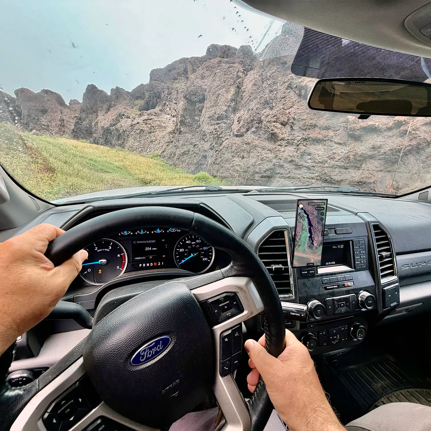
IDPS™ runs on systems already inside the vehicle, enabling operation without dependence on satellites, cellular connectivity, or additional infrastructure.
The expansion extends that capability far beyond the traditional road network into environments where navigation continuity has historically degraded or stopped entirely.
This creates new opportunities across:
- Automotive
- Logistics
- Defense
- Forestry
- Mining
- Construction
- Industrial mobility
- Remote operations
As positioning becomes increasingly foundational to transportation, logistics, autonomy, and mobility infrastructure, continuous awareness is becoming a core operational requirement.
“Modern navigation has always been conditional, dependent on signal, coverage, and environment. TERN breaks that model, delivering a continuous, trusted position wherever the vehicle operates,” said Shaun Moore, Co-founder and CEO of TERN.
“Our off-road signal-free positioning and route guidance breakthrough highlights the innovation we are pushing in this industry,” said Brett Harrison, Co-founder and President of TERN. “Position is embedded in almost everything today. We want you only to be lost in the outdoors if you want to be.”
TERN’s positioning architecture has gained recognition across both commercial and government sectors, including selection into the NATO DIANA accelerator, contracts with the U.S. Department of Transportation and the U.S. Army, a Special Mention in TIME’s Best Inventions of 2025, and a win in the U.S. Army’s xTech Overwatch competition.
TERN is building a continuously learning positioning architecture that unlocks autonomy, mobility and spatial awareness by enabling vehicles to derive position from within, not above.