3
Number of U.S. presidential directives mandating alternatives to GPS.
Source: gps.gov
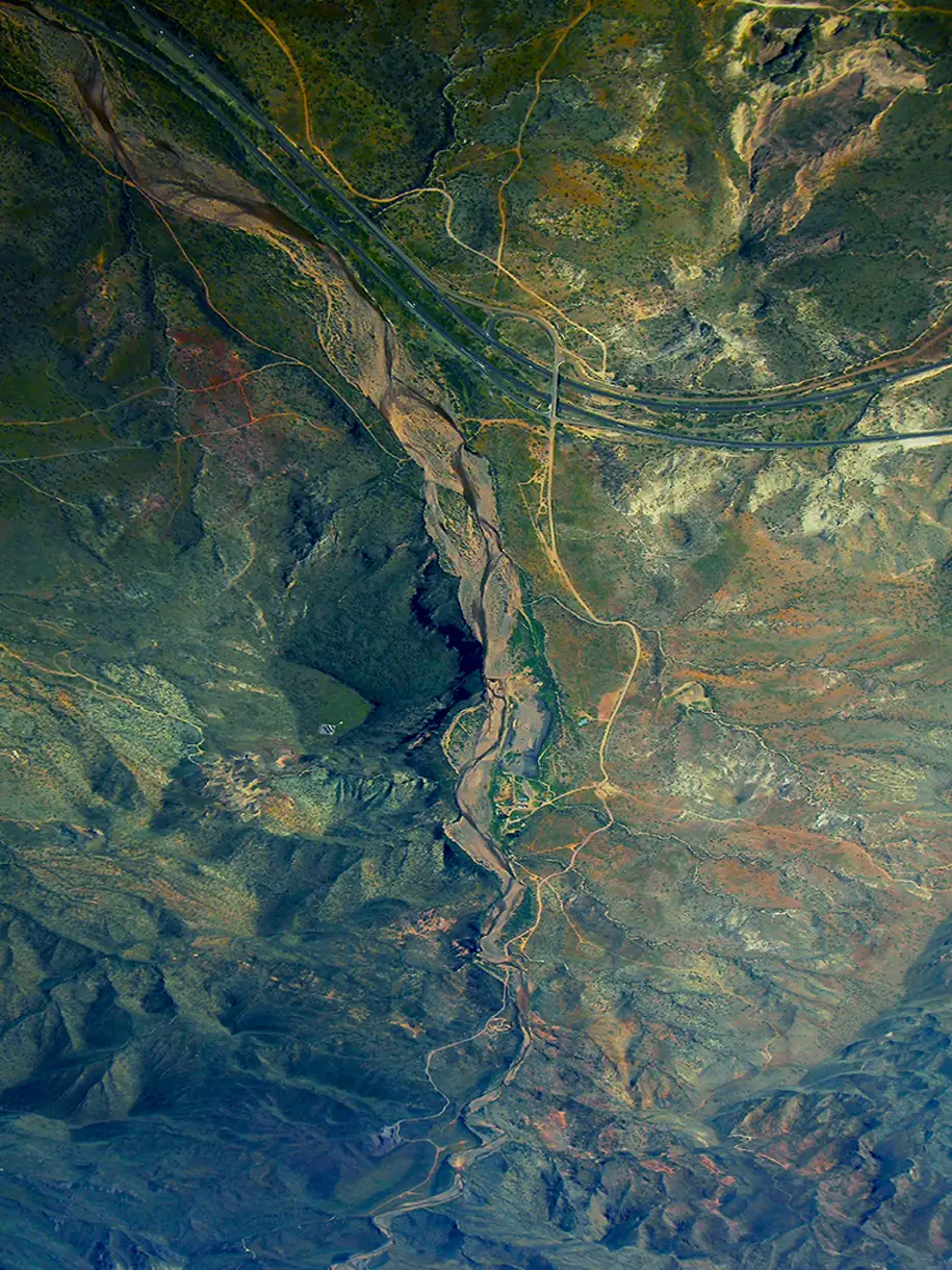
TERN’s patented, award-winning IDPS™ has been proven to deliver uninterrupted, high-accuracy navigation in the very environments where GPS fails – tunnels, dense urban canyons, remote terrain, and GPS-denied zones. Tested by the U.S. Department of Transportation, it has sustained ±4 meter accuracy over extended distances without any satellite input, completing over 180 continuous miles GPS-free and performing flawlessly under live GPS spoofing in a conflict zone. From urban streets to GPS-denied locations, IDPS™ keeps routes accurate, operations smooth, and drivers confident, offering a trusted alternative or backup to GPS that works anywhere the road goes.

IDPS™ has a clear understanding of the roads ahead using preloaded map data – either publicly available or proprietary. This built-in knowledge means it can follow a logical path, even in places where satellites can’t reach, keeping navigation steady from the first turn to the final destination. IDPS™ can stand alone or be configured to power a location manager and integrate with widely used navigation applications such as Google Maps, Waze, OSM, ESRI, ArcGIS and Apple Maps.

TERN’s IDPS™ leverages data from sensors already built into modern vehicles, such as wheel speed, steering angle, and 3D motion data , making these existing sensors smarter. Because this information comes directly from the vehicle, it works anywhere the vehicle can operate, making it a reliable foundation for location tracking in any environment, eliminating the need for additional expensive hardware, such as LEO satellites or terrestrial beacons. With a light computing and processing load, IDPS™ is can be a hardware or software based solution.

IDPS™ uses a proprietary AI engine to fuse map data and sensor inputs into a real-time position. TERN’s advanced adaptive weighting algorithms measure and interpret the data from vehicle sensors and recalibrates those inputs in real-time, applied against the base maps to increase accuracy. Constantly self-healing, IDPS™ predicts, confirms, and refines the vehicle’s location, learning from each movement to maintain pinpoint accuracy without satellites – a groundbreaking achievement impossible with GPS.


Provided to satisfy the virtual patent marking provisions of the America Invents Act under 35 U.S.C. § 287(a). The following list of Tern products may not be all inclusive, and other Tern products not listed here may be protected by one or more patents.


Tern powers a smooth, safe drive from point A to point B, and all the pit stops in between. IDPS™ works with vehicles’ existing base maps and sensors, improving navigation and location services that help users find food, rides, weather info, and first dates.
No matter how far off the grid professional drivers need to travel for package delivery, emergency response, or cross-country transportation, Tern can get them there.
Tern ensures positioning, navigation, and timing (PNT) information is available even when traditional communications networks are down, and is more secure than satellite-geolocation when it comes to jamming, spoofing, and hacking—all known threats to privacy and national security.
Team